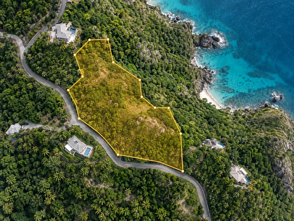
Define the site
Draw or import a boundary
Trace directly on satellite imagery, drag a rectangle, or import KML, KMZ or GeoJSON from Google Earth.
Your contours are generated only for the land you select.
Products
Topographic contours, scaled PDF plans, CAD files and 3D terrain for any site on earth — from a boundary you draw in the browser. No survey crew, no desktop GIS.

Checking your access…
Define the site
Trace directly on satellite imagery, drag a rectangle, or import KML, KMZ or GeoJSON from Google Earth.
Your contours are generated only for the land you select.
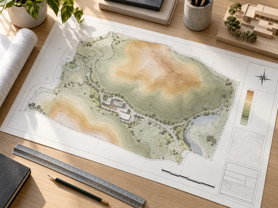
Document the land
Create minor and major contours, elevation labels and a print-ready PDF with title block, legend, north arrow and UTM grid references.
Export 3D DXF, GeoJSON and a georeferenced aerial for AutoCAD or QGIS.
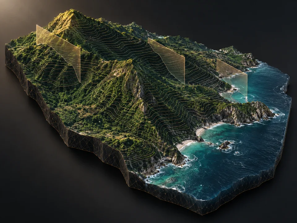
Explore in 3D
Drape imagery over the terrain, adjust exaggeration and sun angle, then export STL or OBJ for the next stage of design.
UTM-based geometry keeps ground distances and printed scale consistent.
Access is prepaid for a fixed period and does not auto-renew — nothing is stored against your card, and you are never billed unexpectedly. Renew whenever you need it.
Plans are being set up. Please check back shortly.
Payments are taken on Scotiabank's hosted payment page. Card details are entered on the bank's own page and never reach this website.
Elevation comes from open DEM tiles (SRTM / 3DEP / GMTED, about 30 m ground sample) and imagery from Esri World Imagery. The output is excellent for feasibility, massing, drainage thinking and visualisation — it is indicative, and it is not a substitute for a measured topographic survey where one is required.